SiEGA
Open Marketplace
The Simulated Environments for Geospatial Assets (SiEGA) Digital Twin Platform by AERO AI revolutionizes the realm of geospatial data visualization and collaboration. Featuring a Studio, Viewerand Marketplace option, SiEGA provides comprehensive support for high-fidelity drone data, industry-leading AEC CAD & BIM tools, and a cloud-based infrastructure, it empowers users to experience and collaborate in a geospatially accurate 3D environment.
SiEGA Studio
Customized Geospatial Digital Twin Application

Real-time 3D Visualization

Geospatially Accurate 3D Environment

Data Pipeline Supports CAD, BIM & GIS

Real-Time Collaborative Workflow

Cloud-based with Pixel Streaming Tech

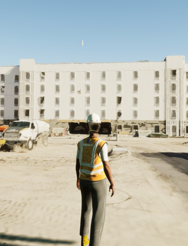
Hyper-Realistic, Smart 3D Avatar
Ready for a 3D revolution? Book a Demo and bring SiEGA Studio to your next project.
Tailored for your needs
Our team of certified geospatial developers can tailor your virtual environments to align with your unique project needs, and integrate diverse geospatial data sources seamlessly.

SiEGA Viewer
Geospatial Data Visualization Simplified


Versatile Data Integration
Seamlessly import and navigate through 3D mesh models and point cloud data with ease. Easily integrate popular 3D geospatial file formats such as LAZ, FBX, abd 3D Tiles for enhanced versatility.

Interactive Time-of-Day Control
Adjust the lighting in real-time to study shadows, sunlight, and other environmental effects at different times of the day.

Measurement Tools
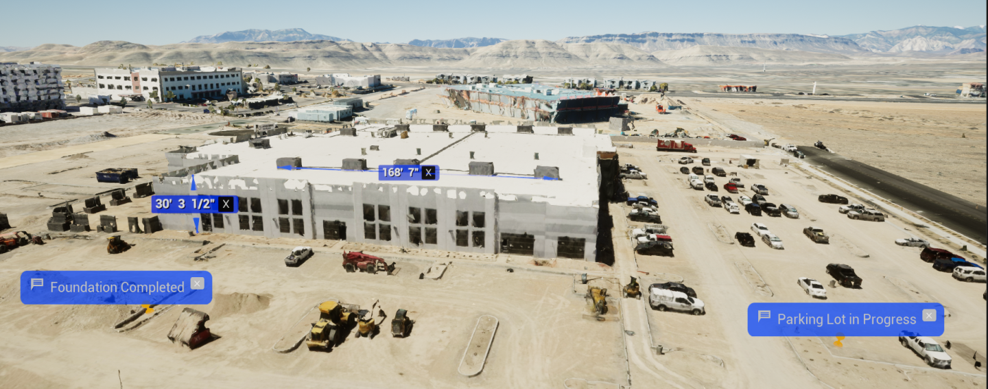
Easily analyze, annotate, and delve into your geospatial data for deeper insights. Take accurate measurements in imperial and metric units within the environment.

Advanced Navigation Mode
Quickly jump to specific areas or points of interest with the location search functionality. Engage with the space using a lifelike avatar for a more immersive experience.

Annotation and Drawing Tools
Mark and comment on specific areas of features with ease. Sketch and design directly within the viewer for quick modifications or notes.

Upgrade to SiEGA Studio
Seamlessly transition to the studio for advanced modeling, simulations, navigation, embedded information, collaboration tools and cloud delivery.
Turn your data into an experience.
SiEGA Marketplace
A Next-Generation Geospatial Data Sharing Digital Twin Platform


How it Works
F/1
Registration
Sign up on the platform and provide contact details.
F/2
Store Discovery
Browse the platform to discover drone pilot stores or use the search function to find specific types of data or stores that offer data in a particular area.
F/3
Data Exploration
After selecting the store, explore the available data. Thanks to Unreal Engine you can preview 3D models in an immersive environment, manipulating the models to inspect the data from different angles and in various levels of detail.
F/4
Data Selection
Once you have found the data you need, you can add it to your shopping cart.
F/5
Checkout & Payment
Proceed to checkout where you will review your order and enter payment details.
F/6
Data Download
After payment is processed, you will receive a link to download the data in your chosen format.
F/7
Customer Support
If you encounter any issue or have questions during the process, you can contact our customer support center for assistance.
Pricing
AEROAI Pricing & Fees
Membership Plan
- Regular users or organizations with high-volume data exchange can opt for our monthly or annual membership plan.
- Enjoy benefits like reduced transaction fees and priority access to new listings.
- Enhanced customer support
Our Fees
Transaction Fee
- A nominal commission (10-30%) is levied on each transaction, enabling us to maintain and enhance this secure and reliable platform.
Promotion Fee
- Stand out from the crowd! For a nominal fee, we can promote your listing, making it more visible to potential buyers.
Data Processing Fee
- Need extra processing or analysis on your purchased data? We've got you covered with our data processing services. Fees depend on the complexity of the required operations.
Need Clarification?
Frequently Asked Questions
Yes, you can buy multiple data sets. When you purchase a data set, you will be given a license to use that data set for a specific period of time. You can purchase as many data sets as you need, and you can use them for any purpose that is permitted by the license.


