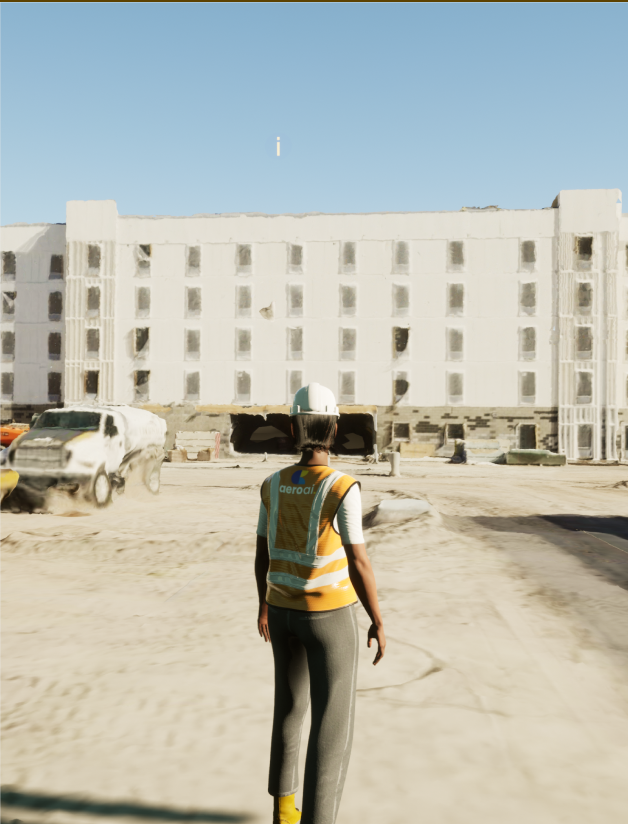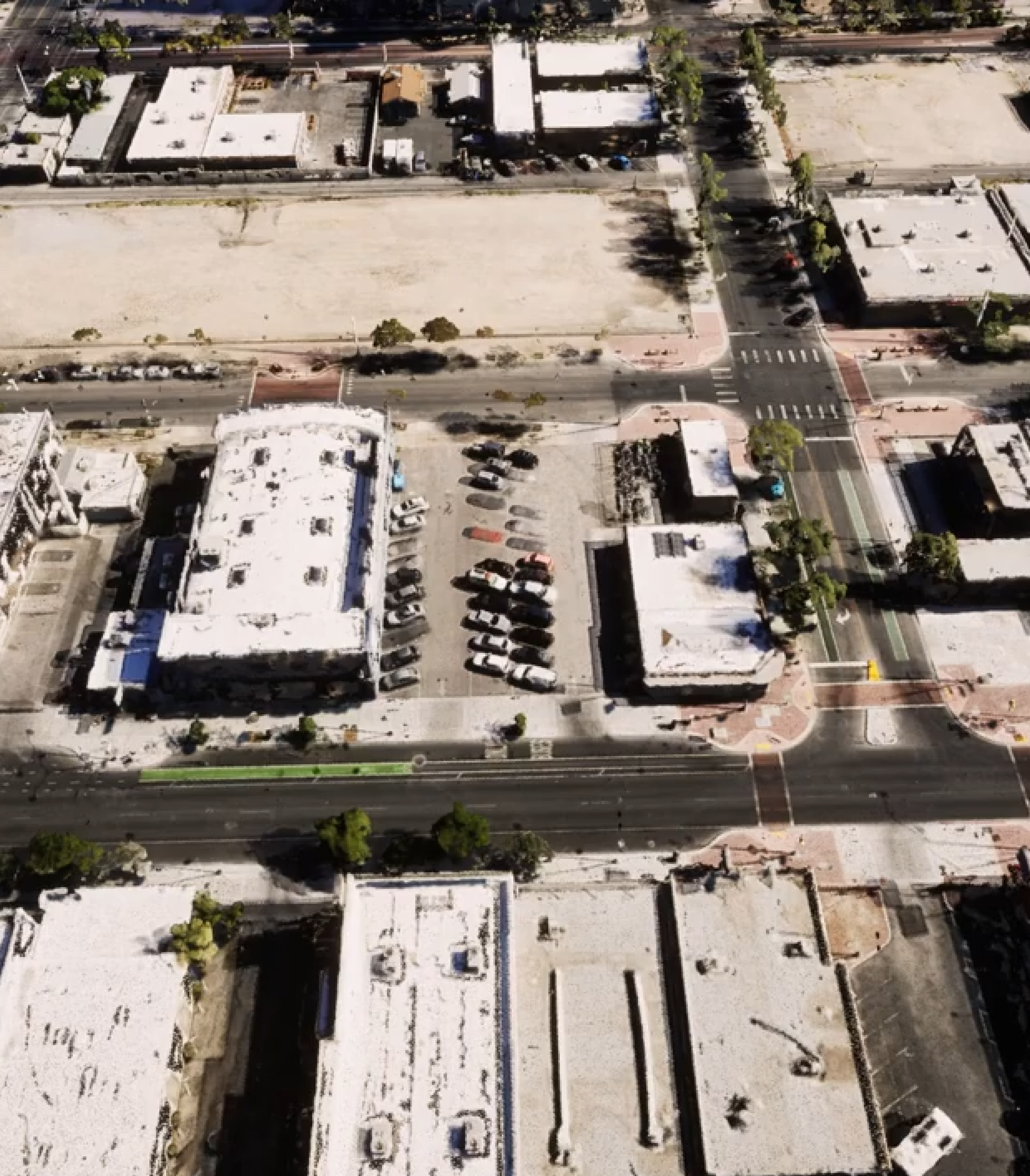
The Simulated Environments for Geospatial Assets (SiEGA) Digital Twin Platform by AERO AI revolutionizes the realm of geospatial data visualization and collaboration. Featuring a Studio, Viewerand Marketplace option, SiEGA provides comprehensive support for high-fidelity drone data, industry-leading AEC CAD & BIM tools, and a cloud-based infrastructure, it empowers users to experience and collaborate in a geospatially accurate 3D environment.
Sign up on the platform and provide contact details.
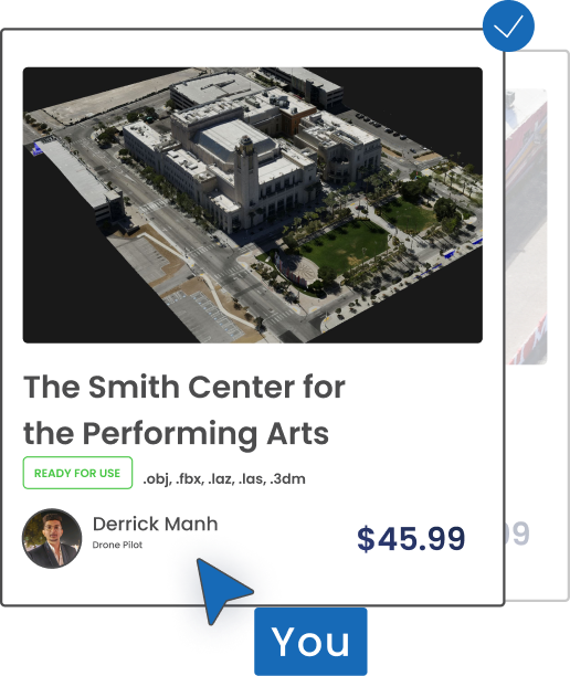
Browse the platform to discover drone pilot stores or use the search function to find specific types of data or stores that offer data in a particular area.
After selecting the store, explore the available data. Thanks to Unreal Engine you can preview 3D models in an immersive environment, manipulating the models to inspect the data from different angles and in various levels of detail.
Once you have found the data you need, you can add it to your shopping cart.
Proceed to checkout where you will review your order and enter payment details.
If you encounter any issue or have questions during the process, you can contact our customer support center for assistance.
Transaction Fee
Promotion Fee
Data Processing Fee
Yes, you can buy multiple data sets. When you purchase a data set, you will be given a license to use that data set for a specific period of time. You can purchase as many data sets as you need, and you can use them for any purpose that is permitted by the license.