Seamless Integration of Photogrammetry, GIS, and CAD: A Comprehensive Guide
Integrating Photogrammetry, GIS. and CAD Seamlessly Managing data from photogrammetry, GIS, and CAD platforms often poses significant challenges for professionals working on large-scale projects. Misaligned datasets, tedious file conversions, and inconsistent workflows can derail timelines and increase costs. However, by embracing the seamless integration of these technologies, teams can eliminate inefficiencies, foster collaboration, and achieve unparalleled project success.
How Integration Works: A Step-by-Step Guide
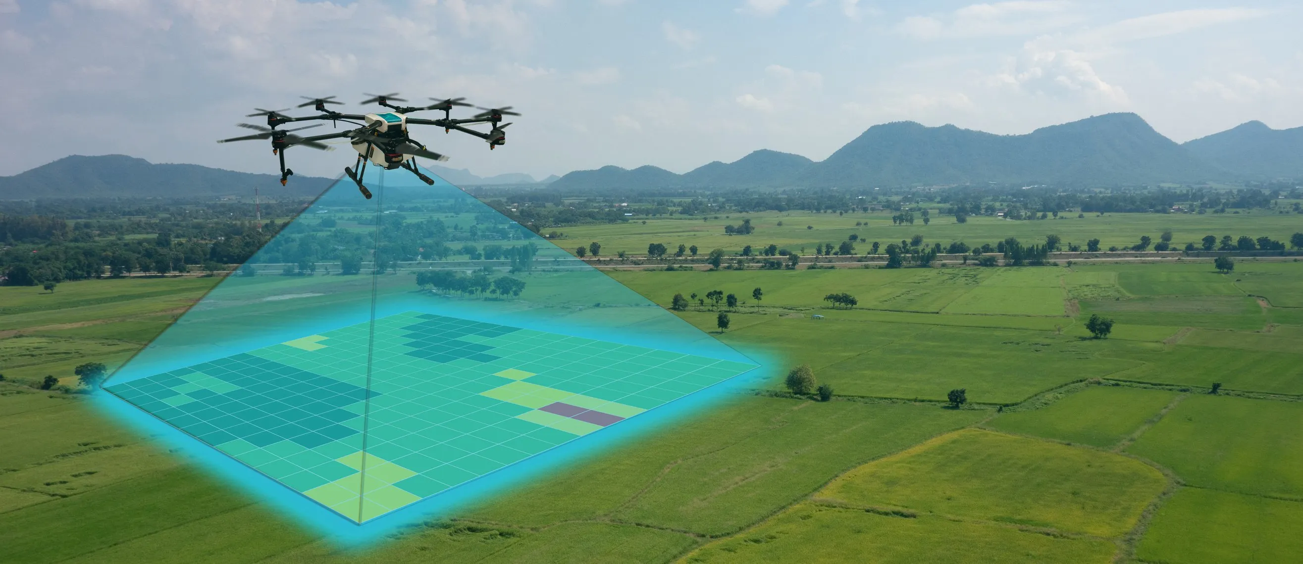
Step 1: Data Acquisition and Processing High-quality data is the cornerstone of successful integration. Use drones, LiDAR, or satellite imagery to collect raw data, processed into 3D models, orthomosaics, or point clouds via photogrammetry software. Accuracy at this stage ensures reliable outputs.
Step 2: Alignment of Coordinate Systmes Harmonize datasets by standardizing spatial references. For instance, GIS might use WGS 84 while CAD relies on project-specific coordinates. Tools like ArcGIS or AutoCAD facilitate this crucial step.
Step 3: Data Conversion and Format Compatibility Ensure data compatibility across platforms by converting files to universally accepted formats, such as GeoTIFF for GIS and DXF for CAD. Tools like FME streamline this process.
Step 4: Centralized Data Management Centralized platforms like Autodesk Construction Cloud or BIM 360 reduce redundancy and ensure consistent data access. Secure systems with encryption and role-based permissions safeguard sensitive information.
Step 5: Visualization and Analysis Integrated workflows allow for comprehensive visualizations. Combine GIS data, CAD designs, and photogrammetry outputs to create immersive 3D models for stakeholder presentations and deeper insights.
Step 6: Iterative Refinement and Feedback Continuous refinement based on stakeholder input and updated field data ensures designs remain aligned with project goals and real-world conditions.
Technological Advancements Driving Integration
Modern tools like Aero AI revolutionize integration processes by offering:
-Advanced Georeferencing: Align datasets with precision.
-Intuitive Visualization: Create realistic 3D environments.
-Seamless Compatibility: Support for industry-standard formats ensures fluid transitions between workflows.
Best Practices for Integration:
-Prioritize Data Quality -Standardize Processes -Leverage Automation -Promote Collaboration
Challenges and Considerations While integration offers numerous benefits, challenges persist: -Complexity in setup -Resource Intensity -Continuous Updates
Future Trends The integration of photogrammetry, GIS, and CAD is poised for exciting developments, including AI-powered automation and immersive augmented reality (AR) solutions. These innovations will further simplify workflows, enhance precision, and improve stakeholder engagement.
Revolutionize your workflows today! Try Aero AI and see how seamless integration can redefine your projects.
Tags
Seamless Integration, Immersive Drone Technology, GIS and CAD Workflows, Photogrammetry Applications, 3D Mapping, Data Alignment Challenges, CAD for Geospatial Design, Workflow Optimization