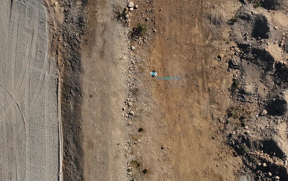
Introducing 3DINT Engine: From Drone Imagery to Usable 3D Intelligence
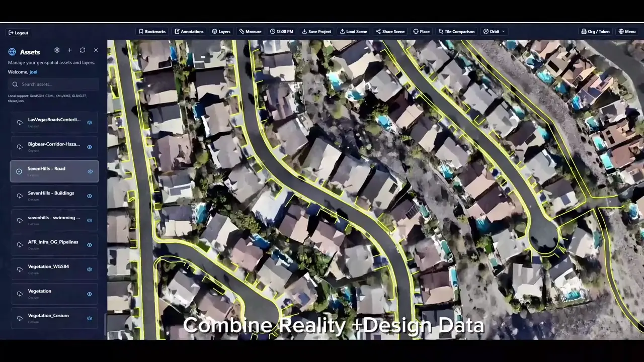
Meet the early-access engine connecting local reconstruction, project control and quality review with delivery to SiEGA.
Read article
Ideas. Projects. Progress.
Project stories, product updates and practical perspectives on reality capture, spatial intelligence and digital twins.
Meet the early-access engine connecting local reconstruction, project control and quality review with delivery to SiEGA.
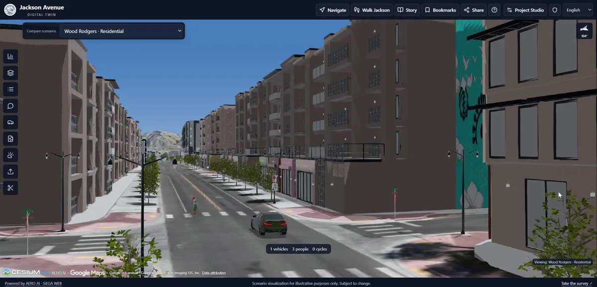
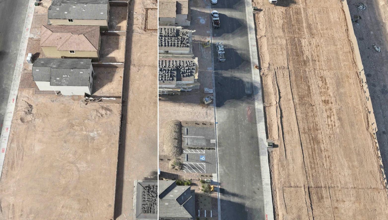
Read articleConnecting existing conditions, planning information and a shared 3D view of Jackson Avenue.
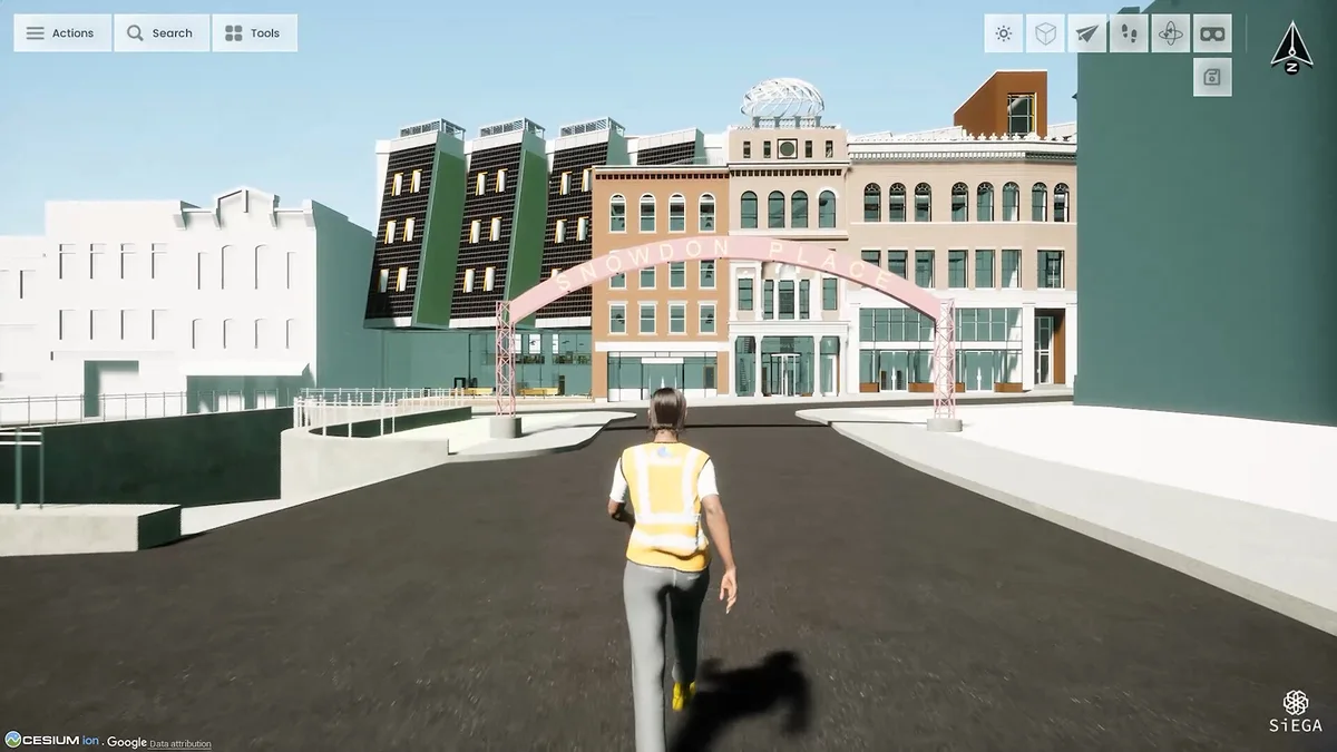
Read articleDifferent ways into a shared spatial environment: the development of SiEGA Desktop and SiEGA Web, and what it means for project teams.
Read articleBring a project into the browser so your team can explore the scene, explain the details and review spatial data in context.
Read articleRecognition of AERO AI’s mission to make real-world spatial information easier to create, understand and use.
Read articleA practical introduction to visual reconstruction, capture planning and choosing the right deliverable for the task.
Read articleAn ongoing UNLV Tech Park benchmark, and why a credible accuracy discussion starts with the method rather than a single number.
Read articleSiEGA demonstrations and three practical questions for taking spatial data from capture to project review.
Read articleA research discussion about infrastructure digital twins as context for synthetic inspection datasets with Cesium and Unreal.
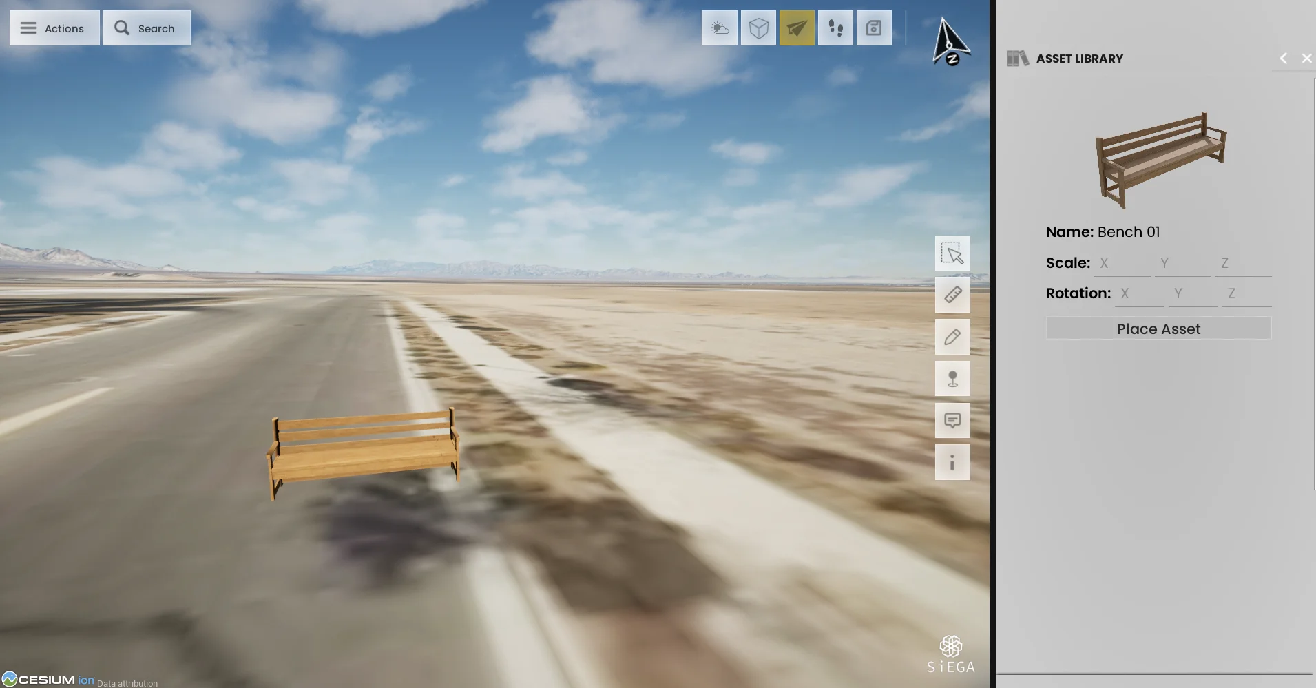
Read articleA focused look at the March 2026 desktop update and the project-review tasks it supports.
Read articleA look back at the September 2025 cohort and the infrastructure questions that continue to shape AERO AI’s work.
Read articleDiscover how to enhance AEC projects using immersive drone technology. Learn step-by-step methods to visualize data effectively and engage stakeholders.
Read articleDiscover how Aero AI’s advanced tools turn complex data into interactive visual stories, enabling professionals to communicate ideas with clarity and precision
Read articleDiscover how integrating photogrammetry, GIS, and CAD can streamline workflows, enhance collaboration, and unlock new project efficiencies in design and analysis
Read articleTransform your project pitches with advanced visualization tools like 3D models and geospatial data. Captivate stakeholders and win buy-in effortlessly.
Read articleExplore how integrating drone data enhances AEC projects in 2025. Learn about workflows, benefits, and the latest trends in geospatial technology.
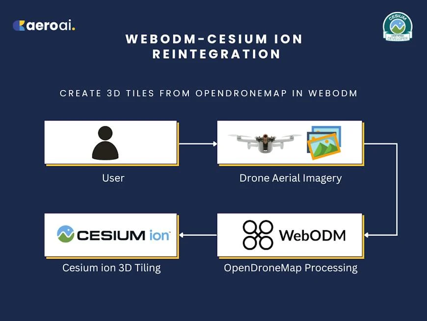
Read articleHow the WebODM–Cesium ion reintegration connected open-source drone processing with a 3D Tiles delivery workflow.
Read articleOur primary mission with SiEGA is to bridge the divide between physical terrain and digital data.
Read articleBy integrating WebODM with Cesium ion, we provide a powerful solution for drone mapping, GIS, architecture, engineering, construction, environmental conservation, and geospatial analysis professionals.
Read articleThis innovative platform represents a leap forward in how we engage with and interpret the world's spatial data, unlocking new opportunities for geospatial content creators and professionals.
Read articleThe Las Vegas Drones Meetup Group is a diverse community of drone pilots, technologists, enthusiasts, and fans of all things aviation and aerospace.
Read articleThe Cesium Certified Developer Program is designed to recognize developers who demonstrate exceptional proficiency in building applications on the Cesium platform.
Read articleThe UNLV North Campus Project exemplifies the power of combining drone technology, geospatial analysis, and real-time 3D graphics for large-scale planning and design.
Read articleJoining the NVIDIA Inception Program aligns perfectly with our mission, enabling us to harness the power of NVIDIA’s technology to further enhance our platform’s capabilities.
Read articleThe UNLV President’s Innovation Challenge was launched, aiming to harness the innovative potential of students to tackle Southern Nevada's most pressing issues.
Read article