01 / Reconstruct
See your capture take shape
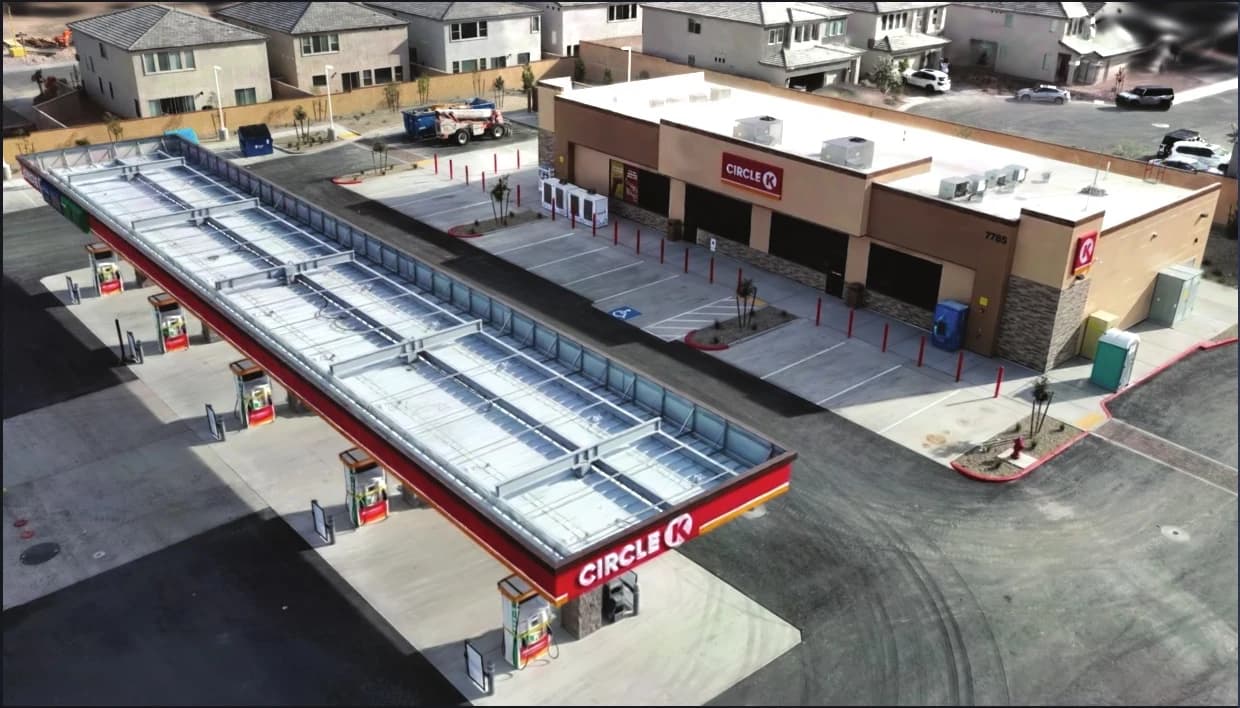
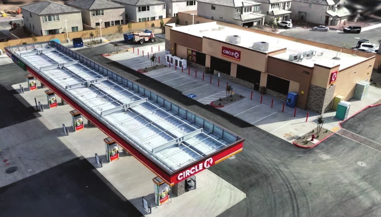
Create and explore Gaussian splats, point clouds and textured meshes in a shared 3D workspace.


3DINT Engine
by AERO AI
AI-Native 3D Reconstruction & Spatial Intelligence
Free during early access · Windows
3D reconstruction for infrastructure and the built environment.
Reconstruct aerial imagery and work with aerial LiDAR and terrestrial scans on your local workstation. Deliver georeferenced maps, models and 3D Tiles with a quality report for every run.
Reconstruct, georeference, review and deliver your work from one desktop application.
Import aerial photos, LAS/LAZ point clouds and terrestrial E57 laser scans.
Use your GPU to build dense point clouds, textured meshes and Gaussian splats.
Place your model in your project’s coordinate system using RTK camera positions and ground control.
Review image alignment, checkpoint residuals and warnings in an ASPRS-aligned report for each run.
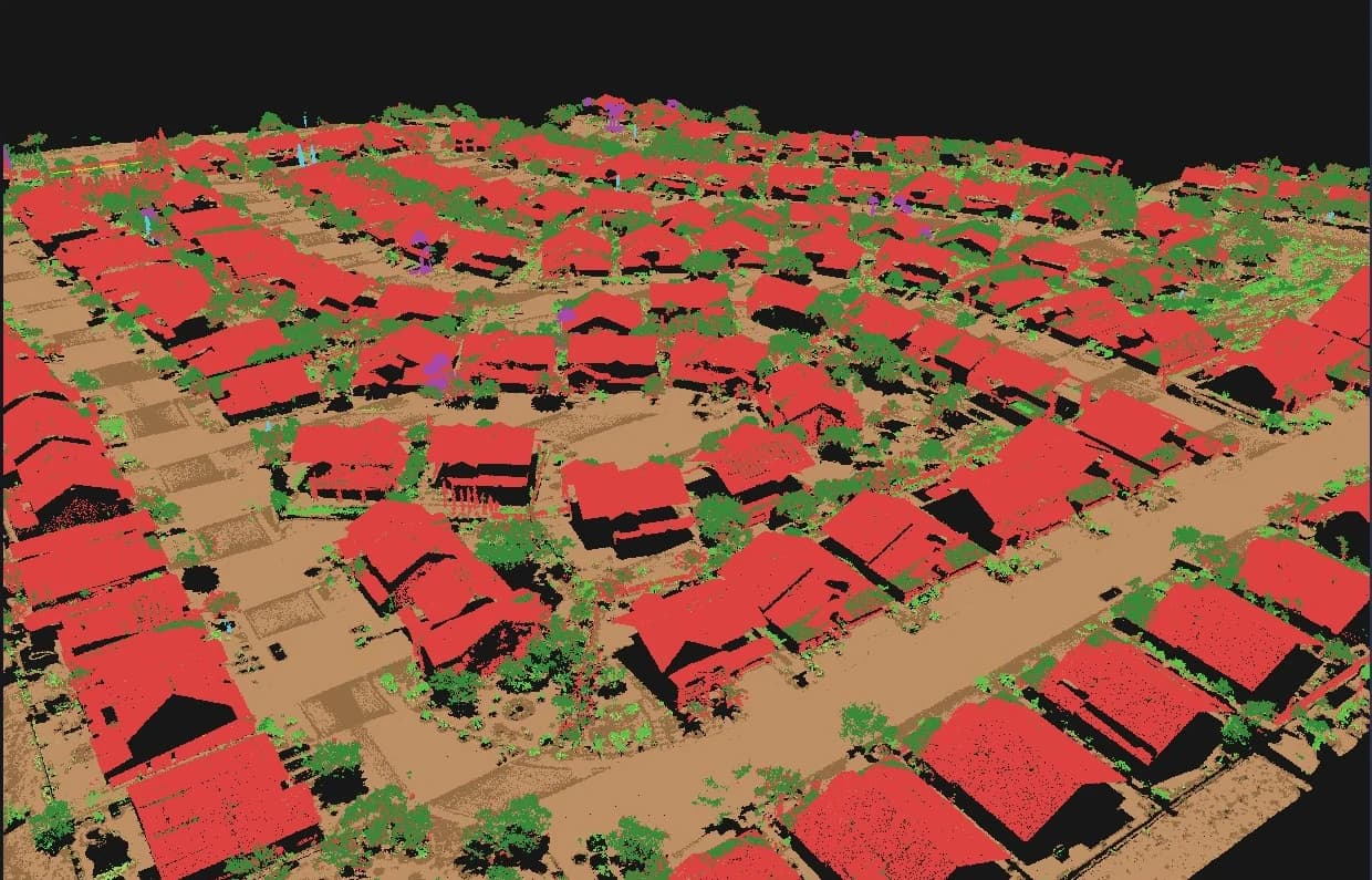
Review and refine ground, vegetation and building classes in 3D. Generate ground models and contours.
Export maps, models and point clouds for your team. Package streamable 3D Tiles or upload them to Cesium ion.
01 / Reconstruct
Create and explore Gaussian splats, point clouds and textured meshes in a shared 3D workspace.
02 / Inspect
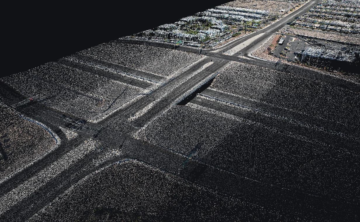
Reconstruct roadway corridors from aerial photogrammetry. Inspect dense point clouds across bridges, road surfaces and surrounding terrain.
03 / Georeference
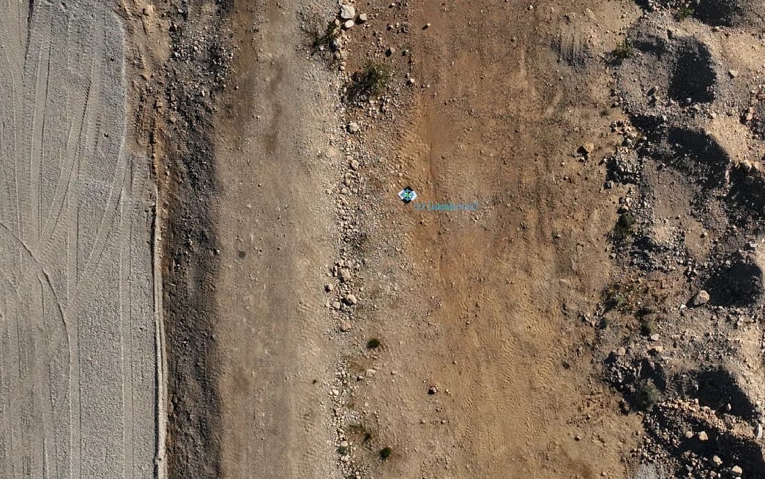
Use RTK camera positions and mark ground control points in your photos. Separate control from checkpoints and review the results in your project’s coordinate system.
04 / Classify
Review ground, vegetation and building classes in 3D, correct labels and extract ground models and contours.
05 / Map
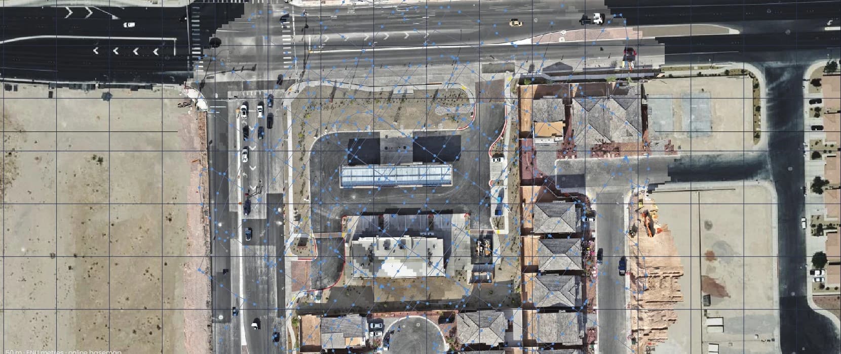
Review georeferenced imagery alongside camera positions and deliver orthomosaics in your project’s coordinate system.
06 / Connect
Bring your results into SiEGA Web and Desktop. Publish your 3D deliverables and keep your team connected to the project.
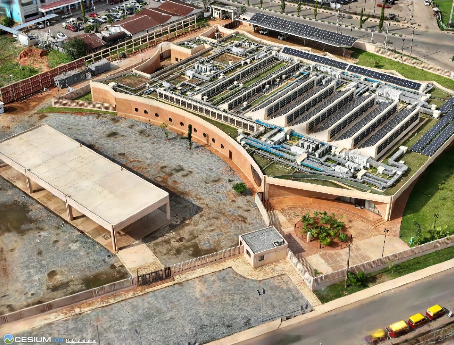
From captured reality to models you can work with.
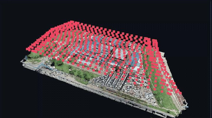
Explore a reconstructed industrial site.
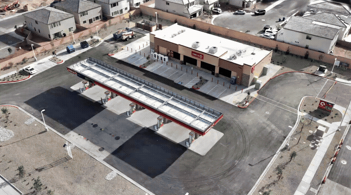
Move around a photorealistic site reconstruction.
Showing 1 and 2 of 6
Let AI agents inspect, measure and prepare exports from local projects in folders you grant access to. Your team reviews and publishes the results.
Windows 11 (64-bit) and an NVIDIA GPU with a CUDA 12.8-capable driver (570 or newer). Validated on an RTX 4090 (24 GB). A preflight check verifies available resources before processing.
Processing runs on your computer. An AERO AI account is required, with offline use for up to 14 days after sign-in.
Features in development for future releases.
Download the free early-access release for Windows. Bring your own capture, explore the workflow and help shape what comes next.