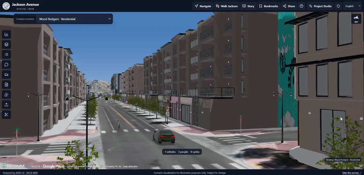
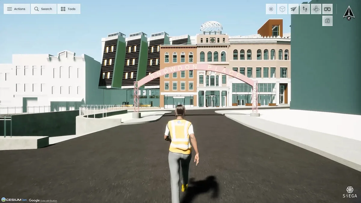
In September 2025, AERO AI was announced as a participant in Bentley Systems’ iTwin Activate cohort focused on Cesium and 3D Tiles. The cohort announcement placed our work alongside other approaches to infrastructure and 3D geospatial information.
For AERO AI, the important question is what a digital twin helps a project team do. A scene can look impressive and still leave essential information disconnected. Infrastructure work calls for a relationship between captured conditions, design information and the questions people need to answer.
Interoperability is part of the experience
When data moves between systems, the handoff should remain understandable. Teams need to know the source, coordinate reference and meaning of the content they are viewing. Otherwise, time saved opening a model can be lost checking what it represents.
This is the perspective we bring to SiEGA and our infrastructure direction: useful visualization depends on bringing information together in a way people can inspect and explain. It is also the lens through which to discuss CorridorTwin as its work develops.
Begin with a corridor question
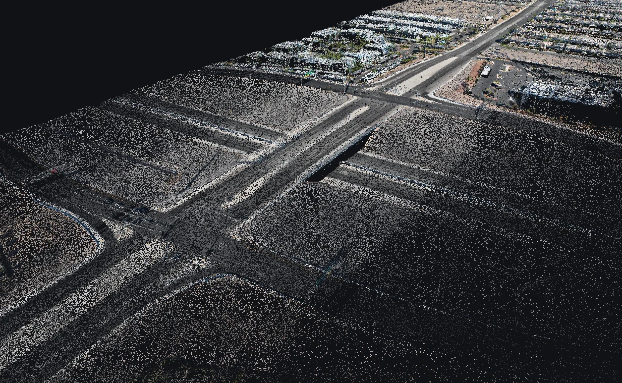
Consider a team reviewing a roadway corridor. One source describes the captured road surface, another contains a design, and a third records information about an asset. Opening those sources is only the first step. The team still needs to understand whether they refer to the same location, the same time and the same object.
A useful digital-twin workflow preserves those relationships. It should be clear when someone is looking at measured conditions, a proposed arrangement or descriptive information. That clarity matters as much as the ability to display a large scene. An attractive visualization can otherwise make uncertain or outdated information appear more authoritative than it is.
This is the infrastructure problem behind our interest in interoperability. The experience should help a reviewer move from a broad view to a specific question without losing the context that makes the information meaningful.
What a useful integration should demonstrate
An integration story is strongest when it follows an observable sequence. Identify the source data, show how it enters the destination, inspect the result and explain what a user can do with it. If an attribute, coordinate reference or update does not transfer, say where the workflow requires additional preparation.
For a project team, that is more informative than a diagram containing many connected logos. It exposes the practical boundaries of the system: which content is supported, who prepares it, what remains editable and how the next person gets access. A demonstration becomes something a reader can evaluate rather than a promise of universal compatibility.
Those are also useful questions to carry into CorridorTwin’s development. A linear-infrastructure workflow needs a clear relationship between the corridor as a whole and the locations or assets that deserve attention. That relationship is a focus for CorridorTwin’s development.
Looking ahead
The cohort announcement outlined plans to connect SiEGA with more of Bentley’s ecosystem, expanding the possibilities for infrastructure workflows.
Our interest is in environments that support understanding, comparison and collaboration around real projects. Participation in iTwin Activate is one part of that story. The next chapters should be judged by the work teams can actually use.