The SiEGA Platform
A scalable geospatial platform for visualizing, analyzing, and simulating the real world in 3D.
SiEGA combines reality capture, spatial intelligence, and immersive visualization into one unified platform. Designed for professional workflows, it empowers organizations to explore complex environments, integrate high-fidelity datasets, and transform captured reality into informed decisions.


One Platform, Multiple Experiences
Access the SiEGA Platform through purpose-built products designed for different levels of access, performance, and immersion — or work with AERO AI to deliver custom, enterprise-grade solutions.
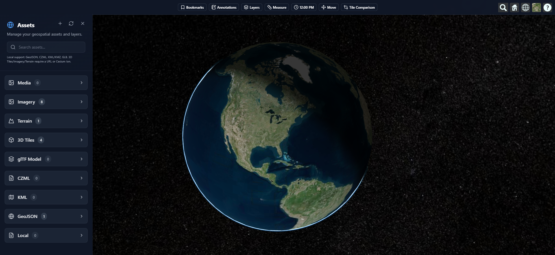
SiEGA Web
Browser-based geospatial visualization and collaboration
SiEGA Web provides browser-based access to the SiEGA Platform, allowing teams to visualize and interact with geospatial data without installing desktop software. It is designed for accessibility, collaboration, and fast insight sharing across organizations.
Best for:
- • Stakeholder review and collaboration
- • Quick access to projects and datasets
- • Web-based visualization and lightweight analysis
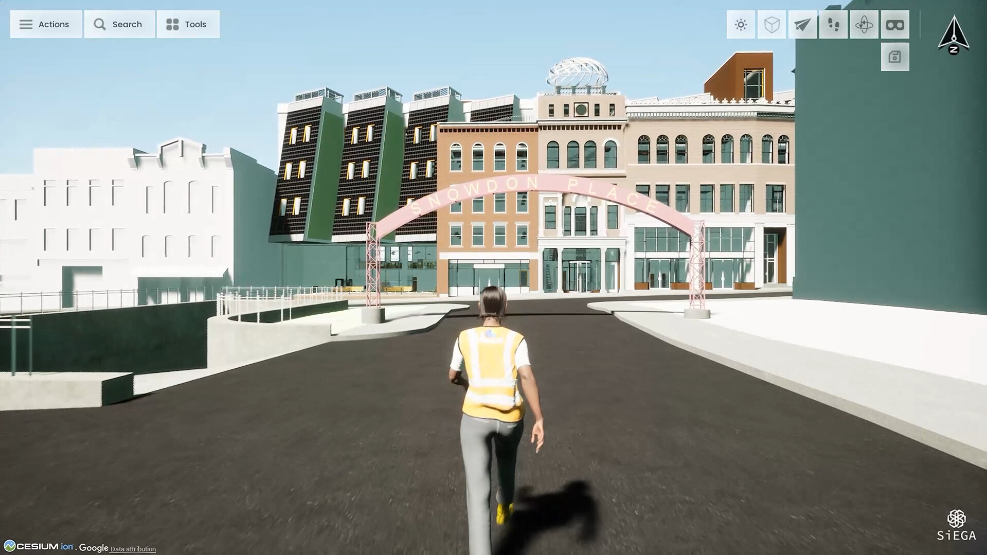
SiEGA Desktop
High-performance desktop visualization and immersive digital twins
SiEGA Desktop is a high-performance desktop application powered by Unreal Engine, built for advanced 3D visualization, simulation, and immersive analysis. It supports complex scenes, large datasets, and professional workflows that require deeper interaction with geospatial environments.
Best for:
- • High-fidelity digital twins
- • Large-scale and complex scenes
- • Advanced analysis and immersive workflows