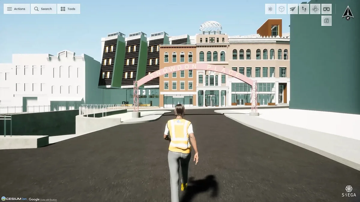
Planning conversations bring together people who do not all read the same drawings or use the same software. A shared 3D environment can help put those conversations in context: where a proposal sits, what surrounds it and how it relates to the place people know.
The Jackson Avenue demonstrations bring community vision and spatial information into the same visual setting. The starting point is a recognizable view of existing conditions. Planning information can then be considered in relation to that setting, with a clear distinction between the current site and possible futures.
Give every layer a clear purpose
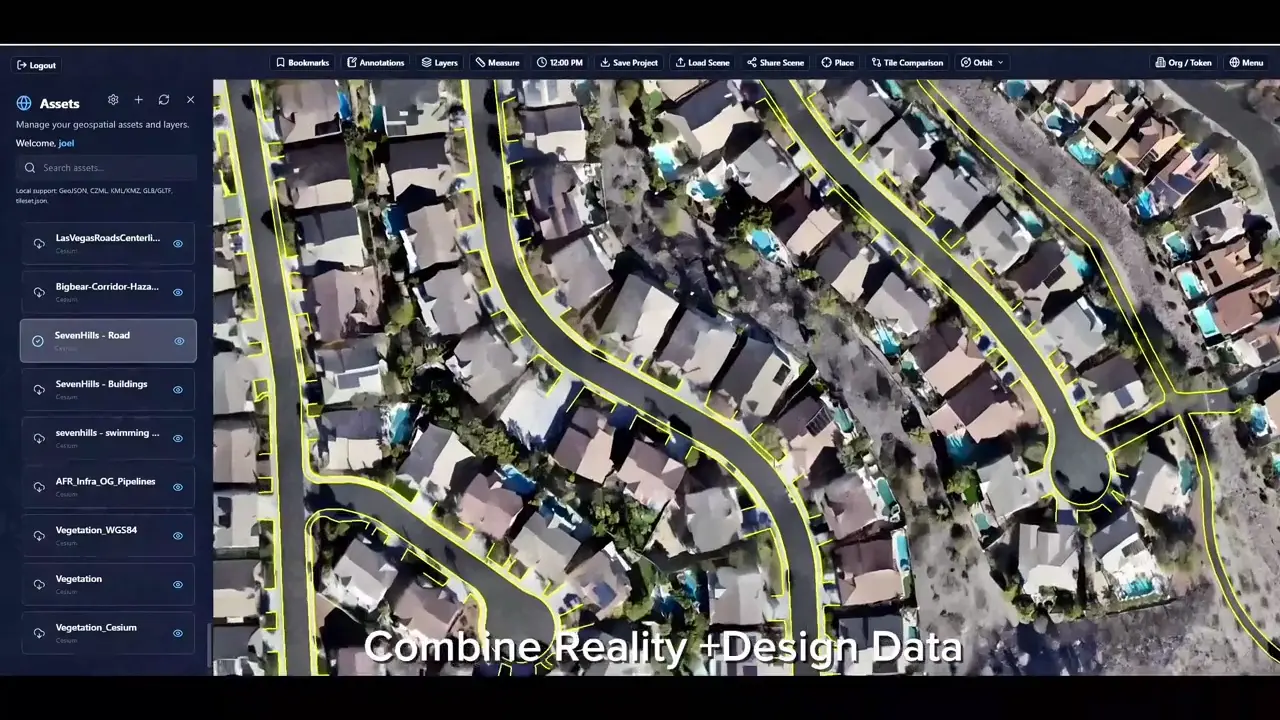
A model is more useful when its sources are understandable. Aerial imagery describes a moment in time. A design model represents an intention. A planning boundary communicates a particular rule or scope. Combining those layers should preserve their meaning, not make them appear equally current or authoritative.
An effective walkthrough can begin at neighborhood scale, move to a specific location and return to the wider setting so that people understand both the detail and its surroundings.
Make the project easier to discuss
A shared view gives stakeholders a common reference. Instead of relying only on a screenshot, a presenter can explain the setting and show the relationship between information layers. That does not replace community engagement or the planning process; it gives those discussions a visual starting point.
Move between the corridor and the street
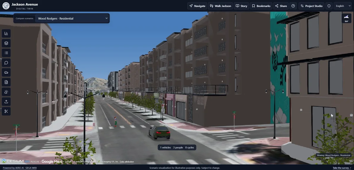
The supplied Jackson Avenue demonstrations show two useful scales of discussion. An overview helps establish how blocks, streets and surrounding development relate to one another. A street-level view changes the question: what might a person see when approaching an intersection, moving along a frontage or entering a public space?
That shift in perspective is one reason a 3D environment can complement a drawing set. It gives people a way to examine the same proposal from several positions without asking everyone to mentally assemble it from separate sheets. The model remains an aid to discussion, with the underlying sources carrying their own dates, assumptions and limitations.
The demonstration also illustrates why concepts need visible labels. A proposed building can look convincing within a realistic background. Without an explanation, a viewer could mistake a design option for an existing condition or an approved decision. A clear presentation names the scenario, explains its purpose and keeps the current setting available as a reference.
Give a review a clear route
A useful project walkthrough begins with a question. For example: how does an illustrative development option sit within the corridor? Start with an overview, move to the relevant block, show the scenario and return to the broader neighborhood. That sequence helps the viewer follow the relationship between the detail and the place.
The next step is to capture the discussion in terms that can be followed up: the location, the scenario being considered and the issue that needs attention. A shared view does not make every interpretation correct, but it helps people explain which part of the project they are talking about.
This approach is especially relevant when a team is combining capture, design and planning material. Each contributes something different. The captured setting supplies context; the design model explores an option; a planning document explains assumptions that may not be visible in the geometry. The value comes from keeping those roles understandable while making them easier to examine together.
A shared setting for the next conversation
Bringing existing conditions and design concepts together gives planning teams a clearer way to discuss options. Jackson Avenue illustrates how a shared spatial environment can connect a corridor-wide view with the details people experience at street level.