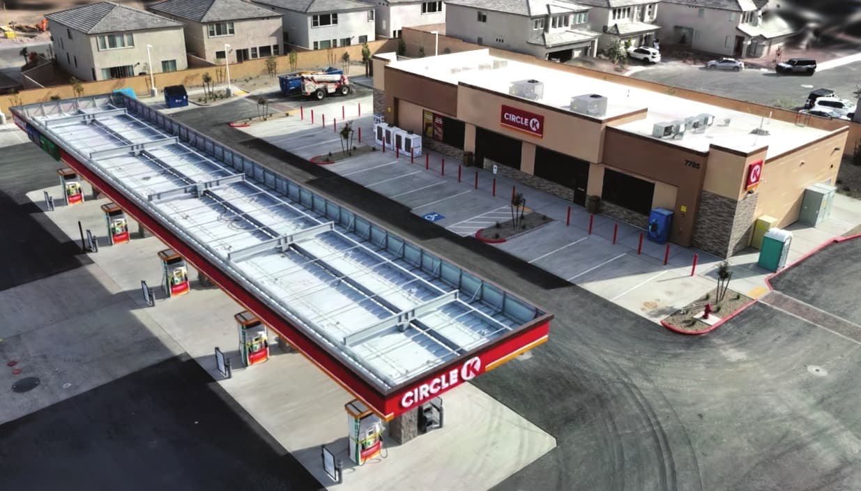
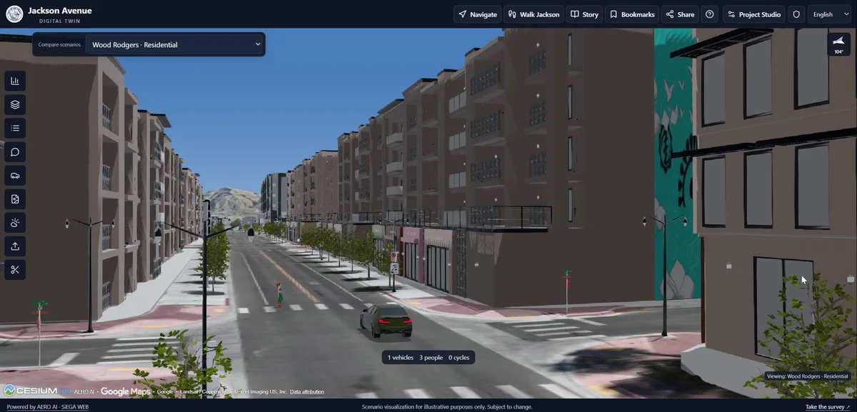
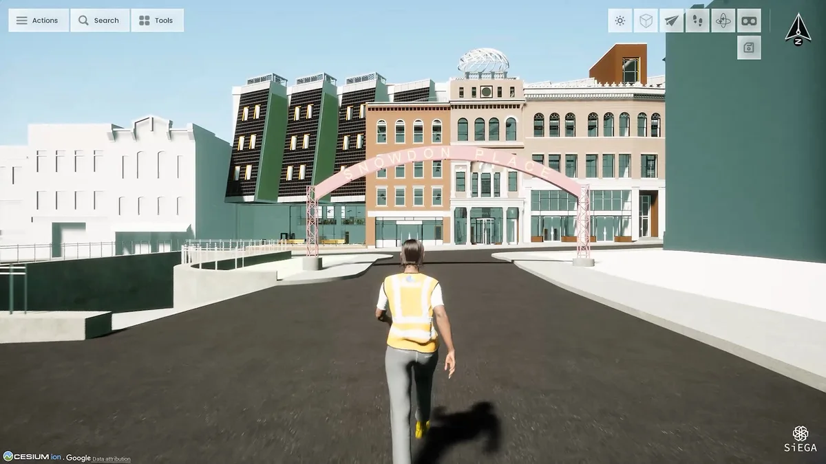
Spatial data is more useful when the people who need it can take part in the conversation. That might be a project manager reviewing a site, a designer comparing context or a stakeholder seeing the work for the first time.
SiEGA Web brings that experience into the browser. It gives teams a way to explore a scene and communicate around the places that matter, with no desktop application to install.
Put the information in context
The Web release notes describe multi-layer scenes, measurements, annotations, saved sharing and tile comparison. Start with a meaningful combination of project data rather than loading everything at once.
A good review scene answers an immediate question. Which area needs attention? What has changed? How does a design relate to existing conditions? Keeping the view focused makes the information easier to read.
Explain what the viewer is seeing
A point in space needs context. A note can explain why a location matters; a saved view can guide someone to the right perspective. Pair visual information with a short explanation of the source and the question under review.
Comparison works best when both datasets are clearly labeled. A visual difference is a starting point for investigation, not automatically proof of a construction change or an error. Capture dates, alignment and data quality still matter.
Prepare a scene someone else can understand
Before inviting a reviewer, think about their first minute in the project. They need to know where they are, what they are looking at and what you want them to examine. A useful starting view is often more valuable than a long list of available layers.
Give datasets descriptive names and separate captured conditions from design options. Keep only the necessary layers visible at the beginning. If the discussion concerns a building entrance, start close enough to see it, but leave a way to return to the site overview. That small amount of preparation can make a complex dataset easier to approach.
In the demonstration above, spatial context and model attributes serve different purposes. The wider scene explains location and relationships; selecting information about a model supports a more detailed inspection. The value comes from moving between those levels without losing the project context.
Turn a view into a useful conversation
A review comment becomes easier to act on when it names the location and the issue. Instead of asking someone to find a feature in an entire site, use a saved view or an annotation to establish the focus. Include the question that needs answering, not just a marker.
Likewise, a measurement needs an explanation of what was measured and which dataset supports it. A distance displayed in a viewer is not independent validation of the source data. For work that depends on accuracy, retain the survey and quality information that makes the measurement meaningful.
When sharing, check the recipient’s access and what the shared scene contains. The Scene Share documentation is the reference for the current sharing workflow. A clean review environment should expose the information needed for the discussion without accidentally including unrelated project material.
Compare with a purpose
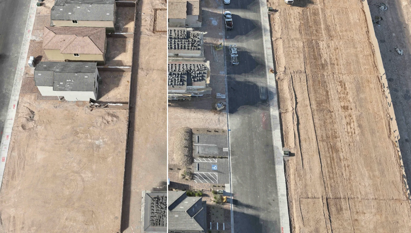
Split-screen comparison is useful when the viewer knows what each side represents. Label the datasets and explain whether the difference is a capture date, a design alternative or a change in representation. Start at a recognizable feature so the comparison has a common reference.
That makes comparison part of a review process: observe a difference, ask what explains it and follow up with the appropriate source information. The comparison guide provides the operating details; the project context supplies the meaning.
AI as an additional tool
The July 23, 2026 Web update added AI Render. Generated concepts can support design exploration, but they should remain clearly labeled and separate from captured evidence. AI is part of the experience, alongside everyday project review and collaboration.
SiEGA Web is a practical entry point for teams who want to work together around spatial data. Explore SiEGA Web to see the current capabilities and start with your own project.