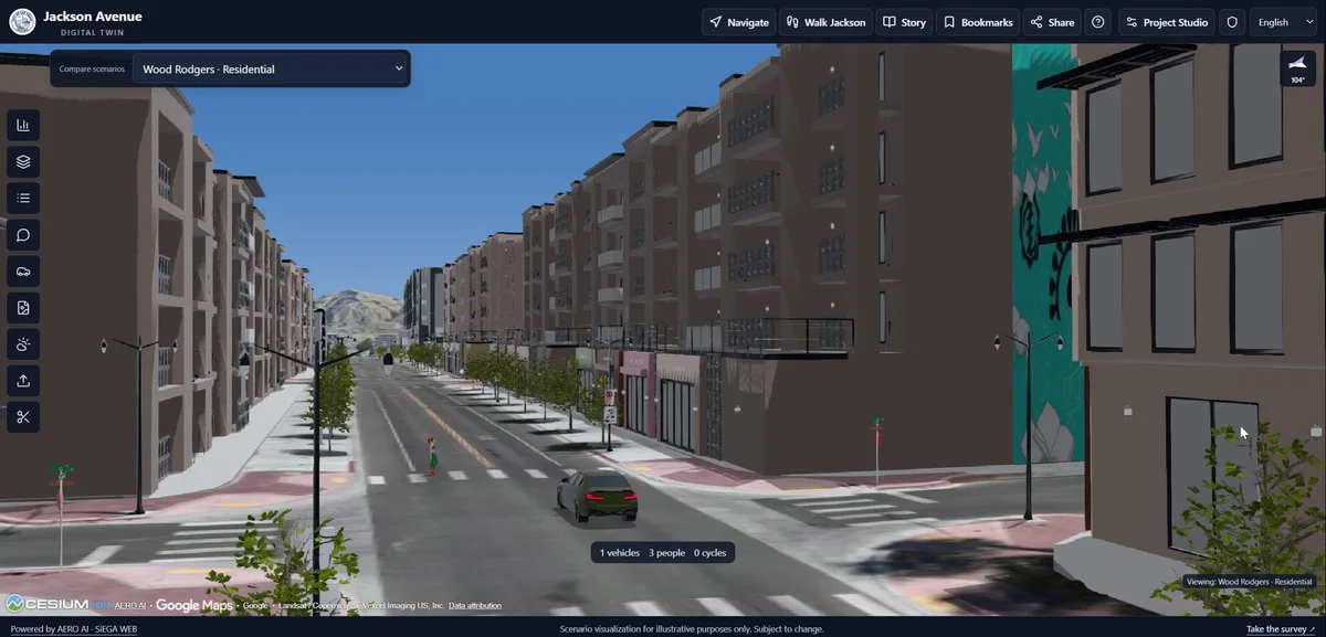
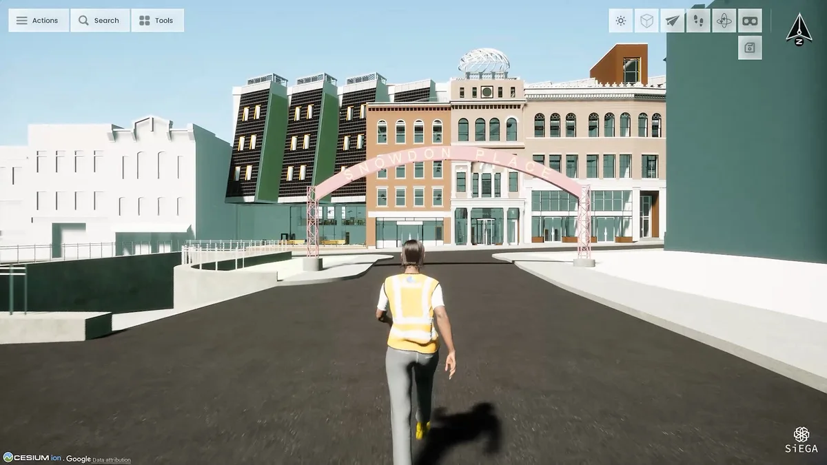
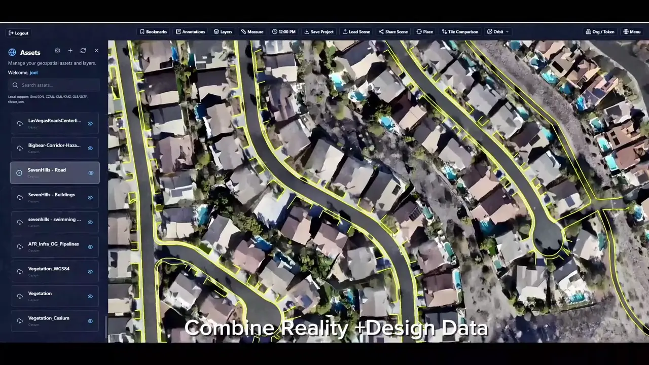
A capture is the beginning of a project, not its final deliverable. Teams still need to reconstruct the scene, place it in the right coordinate system, review the results and make them useful to someone else.
3DINT Engine brings those tasks into a local desktop workflow. It is designed for teams turning aerial imagery into 3D deliverables and working with LiDAR and terrestrial scans. The product is currently free during early access: an invitation to evaluate the workflow on your own data and help shape its development.
Start with the deliverable
A textured mesh, a point cloud and a Gaussian splat serve different purposes. A project review may benefit from a realistic scene; another handoff may need structured geometry or a mapped surface. Decide what the next person needs before choosing an output.
Imagine preparing a site for two different reviews. One colleague needs to move around the scene and understand its appearance. Another needs to work with geometry in a downstream application. Sending the same file to both may create unnecessary work.
A Gaussian splat can support a visually rich walkthrough. A textured mesh represents connected surfaces. A point cloud preserves a collection of spatial observations for inspection and further processing. Mapped imagery gives a top-down view, while a surface model describes elevation. These are complementary ways of representing a place, rather than a contest to identify one universally best format.
The useful question is what the recipient needs to do next. Discuss the intended viewing environment, coordinate reference and file format before starting a large run. Keep the original project and the delivered output identifiable so a later revision can be traced to the right processing work.
Reconstruct, place and review
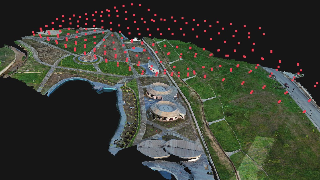
The early-access workflow includes GPU reconstruction, RTK camera positions and ground control, with reports for reviewing alignment and checkpoint residuals. These stages should be read together. A convincing visual result does not, by itself, establish that a model is positioned correctly for a particular project.
On a real dataset, the questions are practical: did the images align, is the site complete, does the coordinate reference match the project, and do the independent checks support the intended use? The report belongs beside the model when a team evaluates the result.
Begin with a visual pass: look for missing coverage, obvious misalignment, disconnected areas and surfaces that are difficult to reconstruct. Then examine the project’s control and report. A clean-looking model and a well-supported measurement claim are different things, and both deserve the right kind of review.
For a first evaluation, choose a manageable dataset whose site and survey information you understand. Retain the source imagery, record the software version and note which outputs you produced. If something looks wrong, that record makes the issue easier to reproduce and explain. Early access is particularly valuable when feedback describes the input, the operation and the observed result together.
Move the result into the project
Export the deliverables your team needs, or use the publishing workflow to bring them into SiEGA. There, captured conditions can sit alongside CAD/BIM and other geospatial information rather than becoming an isolated file.
For teams creating new data, 3DINT is the preparation step. For teams who already have data, SiEGA offers another starting point. The aim is the same: a shared environment in which people can understand the site and discuss what comes next.
An effective evaluation ends with someone else opening the deliverable. Check the intended file in its destination application, confirm its placement and make sure the recipient knows what it represents. Where the project continues into SiEGA, add the context needed for review rather than assuming the reconstruction tells the whole story.
3DINT’s role is to make that journey more coherent: create, review and deliver locally, then connect the result to the wider project. Find current downloads and system requirements on the product page.