Transforming Campus Planning: UNLV's Expansion with AERO AI's Geospatial Technology

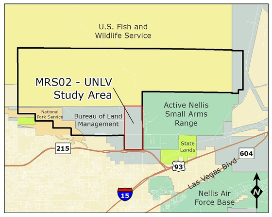
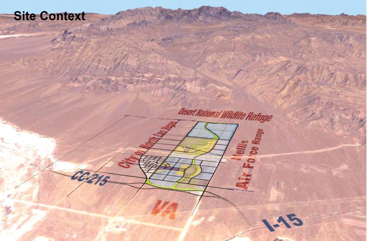
Introduction: The search for a new campus location to serve the future higher education needs of the citizens of Southern Nevada began in early 2000. The project was coordinated with the cities in the Las Vegas Valley, Clark County, the U.S. Bureau of Land Management (BLM), and Nellis Air Force Base. These efforts culminated in the selection of approximately 2,085 acres of open desert land in the City of North Las Vegas (NLV), running north from Clark County Route 215 about three miles between Lamb Boulevard and Pecos Road to the base of the Sheep Mountains.
Project Scope: The project's objective was to create a digital twin/interactive 3D model of the site to facilitate site documentation, design exploration and planning. This involved aerial data capture, 3D modeling, and the integration of preliminary architectural designs for proposed campus structures and masterplan.
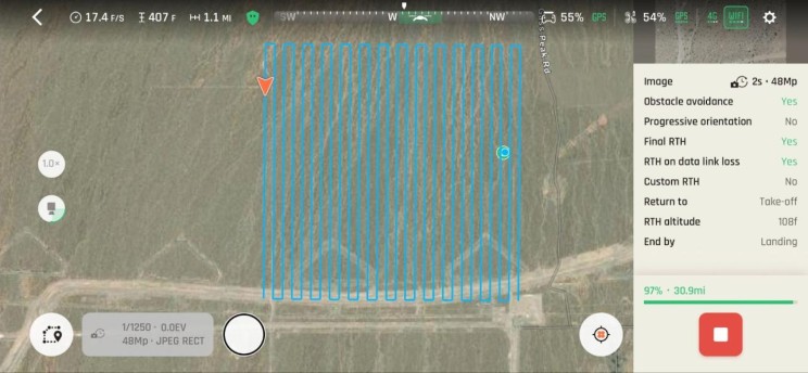
Data Capture: Data capture was meticulously planned to ensure safety and compliance, especially given the site's location within restricted airspace. AERO AI utilized advanced UAS flight planning tools including terrain following capability and a 4G LTE powered UAV for efficient data capture, significantly reducing the time and costs associated with traditional methods.
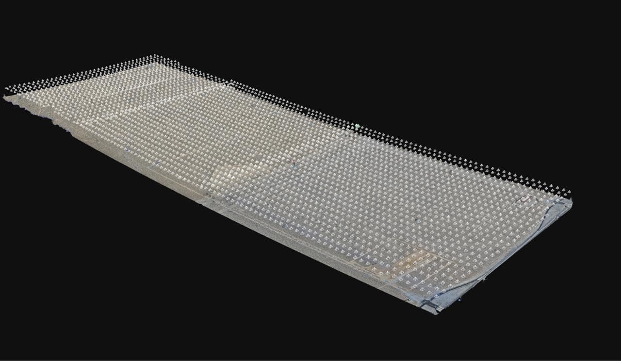
Data Processing: Thousands of images were collected and the captured images underwent photogrammetry processing to generate accurate maps, 3D models, and point cloud. Ground Control Points (GCPs) were integrated to enhance accuracy. The resulting data served as a base for planimetric drawings and CAD/BIM model integration.
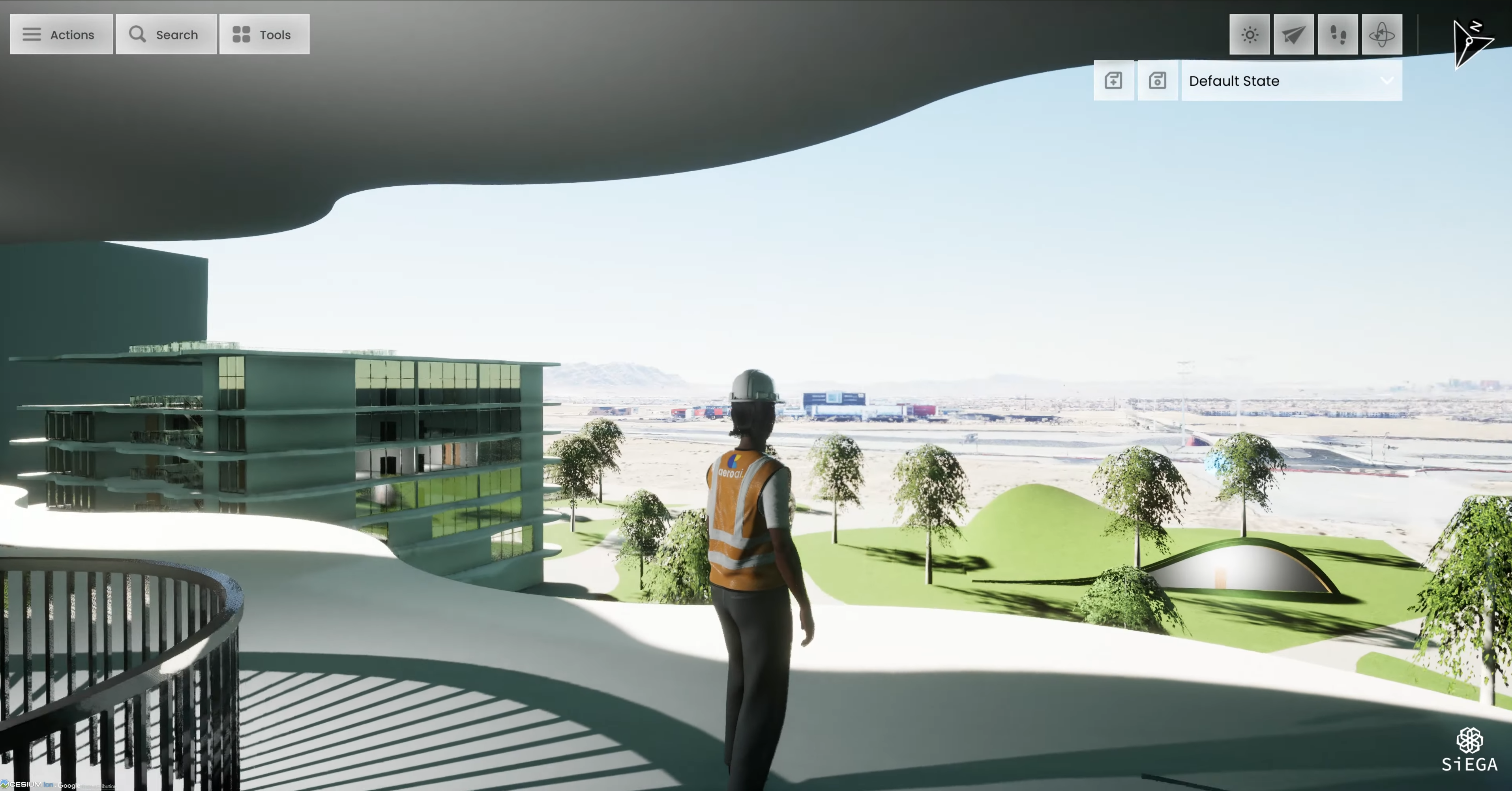
Data Visualization: The culmination of the project was the creation of an interactive digital twin using AERO AI's SiEGA platform which was deployed for desktop and on the cloud for platform agnostic access. This platform allowed for the integration of aerial data with architectural designs, providing an immersive visualization experience. The digital twin was instrumental in presenting design concepts to university stakeholders and will continue to be a valuable tool for future planning and development.
The UNLV North Campus Project exemplifies the power of combining drone technology, geospatial analysis, and real-time 3D graphics for large-scale planning and design. AERO AI's innovative approach not only streamlined the data capture and processing phases but also enabled a collaborative and interactive exploration of design possibilities for the future campus.
Watch the video below to see a snippet of the project within AERO AI’s SiEGA platform:
For more information or to explore how AERO AI can assist with your geospatial data needs, visit AERO AI's website or reach out to us at info@aeroai.io
Learn more about the SiEGA Platform
Client: Nevada System of Higher Education (NSHE) - University of Nevada, Las Vegas (UNLV)
Collaborators: UNLV Planning and Construction, UNLV School of Architecture
Size: 2,085 Acres
Project Scope: Aerial Data Capture, Processing, and Visualization