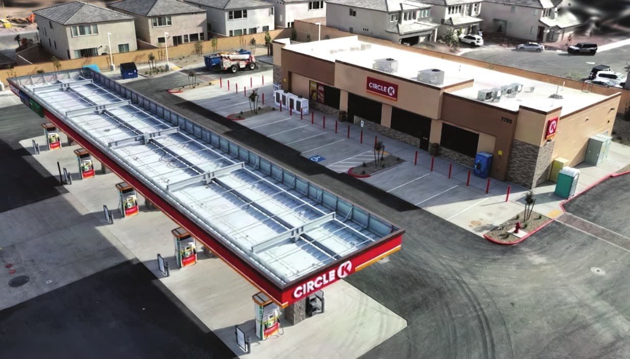
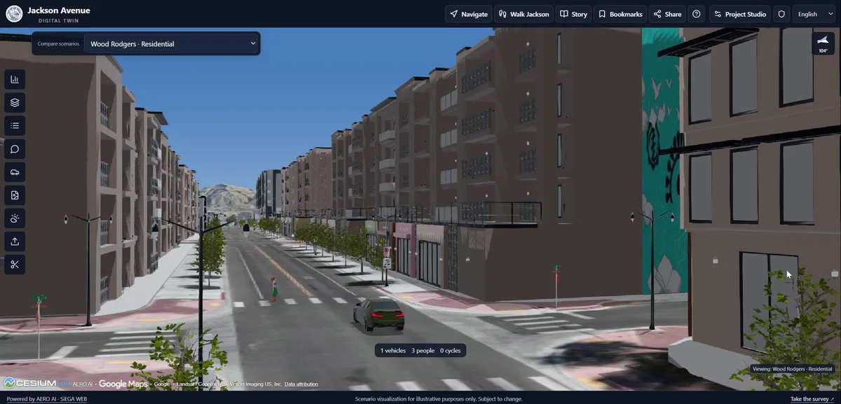
The UNLV Tech Park benchmark gives us a practical setting for examining how capture, control and processing affect a reconstruction. The analysis is ongoing. This field note explores the capture setup, control strategy and independent checks behind the work.
A strong evaluation starts by asking what needs to be known. Is the model internally consistent? Is it positioned correctly in the project’s coordinate system? How does it compare with observations that were not used to adjust it? Those are related questions, but they are not interchangeable.
Give RTK, control and checkpoints distinct roles
RTK camera positions provide location information for the capture. Ground control supplies surveyed references used in the adjustment. Independent checkpoints are reserved for evaluation rather than used to fit the model. USGS guidance discusses control and independent assessment in the context of UAS imagery calibration.
That distinction matters when interpreting a report. A small residual at a point used to constrain the model describes the fit at that point. It should not be presented as an independent test of the finished product.
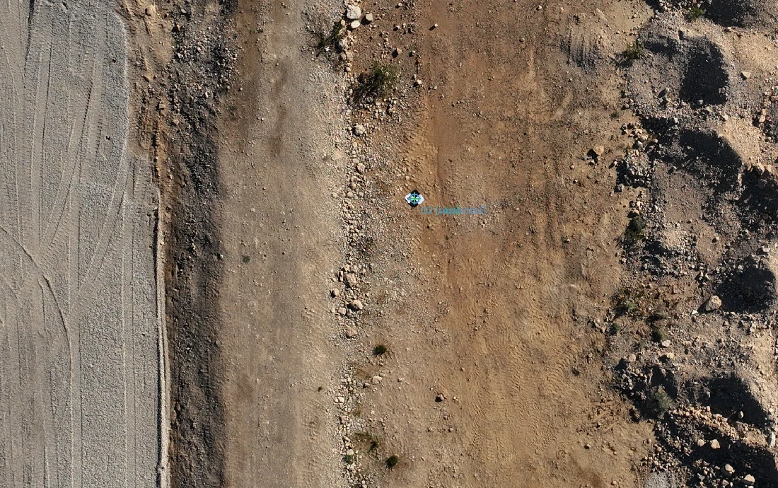
Record the conditions of the test
A result needs enough context to be understood and repeated. The final benchmark should document the survey source, capture configuration, processing version and reference systems. It should explain where the evaluation points are located, how their reference positions were established and how exclusions were handled.
The goal is to make it possible for a reader to follow the method, not just see a favorable summary statistic.
Decide the role of each observation before evaluating
Control and evaluation should answer different questions. A control point helps constrain the solution. A checkpoint asks how the resulting model compares with a reference that was withheld from that adjustment. Treating the same point as both can make the assessment appear more independent than it is.
Keep those roles visible in the project record. If a point’s role changes during processing, document the change and explain which result is being assessed. A reviewer should be able to distinguish the data used to construct the solution from the observations used to evaluate it.
Check the reference before comparing the numbers
Two coordinate values cannot be interpreted meaningfully without knowing their references and units. Horizontal placement, height reference and any transformations need to be understood before differences are summarized. An unexplained mismatch can otherwise be mistaken for a reconstruction problem.
The reference survey also has uncertainty. It is not an error-free answer simply because it is used for comparison. A credible report identifies how that reference was obtained and what it can support. The same care applies to the distribution of checkpoints: a small cluster in one convenient area does not describe behavior across an entire site.
Make the eventual result useful to a reader
A benchmark report should let someone follow the path from input to conclusion. Include the software build, processing choices, control arrangement and independent evaluation method. Explain exclusions rather than quietly dropping inconvenient observations.
Show the spatial pattern as well as a summary. A single figure can obscure differences between locations or directions. When results become available, the question is not just whether a number is small, but whether the assessment supports the intended use across the area being discussed.
These practices guide the ongoing UNLV Tech Park benchmark and provide the framework for assessing its findings.
Report what the evidence supports
When the analysis is complete, review the results with their limitations. The number and distribution of independent observations, the uncertainty of the reference survey and behavior across the site all affect what a summary can support.
We will share the findings when analysis and review are complete. In the meantime, explore the 3DINT quality and control workflow to see where these checks fit into reconstruction and delivery.