Commercial UAV Expo brings the capture community into the same room: people building tools, collecting data and figuring out how to make the results useful. AERO AI took part in the 2026 event, where SiEGA demonstrations provided a starting point for discussing the workflow beyond capture.
Our public Day 3 recap describes SiEGA demonstrations at Booth 2034, bringing drone imagery, LiDAR and BIM into immersive 3D environments. Here are three questions we encourage project teams to bring to their next spatial-data review.
What happens after the capture?
A dataset needs a destination. The questions to bring to a demonstration are who will use the result, what they need to understand and which other information belongs beside it. Those questions help make the conversation about a workflow rather than a visual effect.
That perspective shifts attention from how a dataset looks to how it will be used. A review should leave the viewer with a clearer understanding of the site and the information needed for the next step.
Who needs to participate?
A specialist preparing data and a colleague reviewing it have different needs. A useful demonstration makes that handoff visible. Show how a scene is introduced, what the reviewer can explore and how the relevant context is communicated.
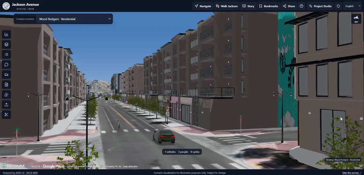
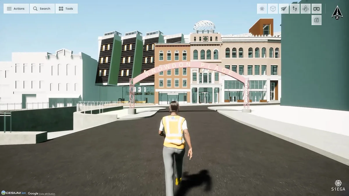
Browser access and immersive desktop exploration address different parts of that handoff. The right starting point depends on the task and the people involved.
Put the handoff into the demonstration
A useful demo can follow the same sequence as a real review. Establish the site, introduce the relevant layers and move to a question that someone outside the capture team can understand. The point is to show what a recipient can do with the information, rather than stopping at a reconstruction’s visual detail.
For a building project, that might mean relating captured surroundings to a design model. For a corridor, it might mean finding a location within a larger context.
Three questions worth taking back to a project
What decision should the data support? Begin with the intended use, then choose the representations and views that make it easier to examine. An impressive model can still be the wrong deliverable if it cannot support the recipient’s next task.
Who needs to open it? Consider the reviewer’s software, permissions and familiarity with 3D navigation. A guided starting view and an understandable explanation can make the difference between sharing a file and enabling a conversation.
What context must stay with it? Capture dates, source information and the distinction between existing conditions and proposals belong beside the visual. The more realistic a scene looks, the more important it becomes to explain what the viewer can reasonably conclude from it.
These questions give an event follow-up a useful purpose. They translate interest in a demonstration into a clearer discussion about a team’s own data and review needs.
What makes a demonstration useful afterward?
An event interaction is easier to build on when the viewer can find a clear next step: a product page, an example workflow or a conversation about their own data. That is also a useful standard for this recap. It should help a reader understand what to explore next, even if they were not at the event.
Explore the AERO AI platform or talk with our team about your project.