A realistic 3D view can make a captured place immediately understandable. Gaussian splatting is one way to create that experience, and it gives drone-mapping teams another kind of deliverable to consider.
Our workshop story begins with a practical distinction: producing a convincing view and producing validated measurements are different goals. Understanding that distinction helps people choose a workflow for the task, rather than choosing an output only because it looks impressive.
What is a Gaussian splat?
A Gaussian-splat scene represents appearance using many small, overlapping 3D elements rather than a conventional connected triangle mesh. The original research introduced a method for rendering novel views from captured images.
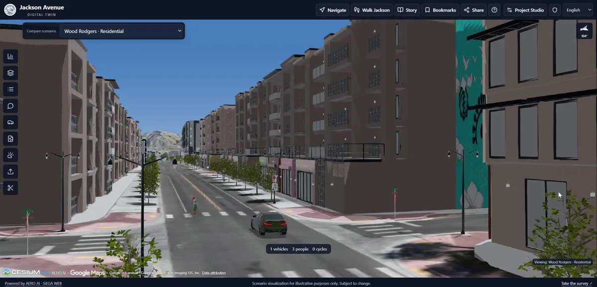
A short orbit makes the idea tangible: the viewer can move around the reconstructed scene rather than looking at a single photograph. The example below shows that change of perspective using an existing AERO AI product demonstration.
Plan around what needs to be seen
Think about coverage before processing. Which surfaces will the viewer need to inspect? Where might the capture leave gaps? What may change between photographs? These questions help frame a practical exercise without reducing capture planning to a universal flight recipe.
Treat capture planning as a decision about coverage and intended use. A flight pattern suitable for an overhead map may leave other perspectives poorly observed; evaluate the views the eventual audience will need.
Read the scene from more than one view
A good-looking opening frame can hide the limits of a reconstruction. Move around the scene and inspect the places a reviewer is likely to visit. Look near boundaries, under overhangs and at surfaces seen from only a small number of directions. A result may communicate the site well from one viewpoint while revealing gaps from another.
That makes a short orbit a useful teaching tool. It shows how the representation behaves as the viewer moves, rather than presenting a single image as evidence of completeness. The product example above shows that shift in perspective.
Choose between appearance and structured geometry
A mesh connects vertices into surfaces. A point cloud stores a collection of points. A Gaussian-splat scene emphasizes the appearance of the captured environment from changing views. Each can help explain a place, but downstream tools may expect different structures.
If the next step is a presentation, evaluate how clearly the scene communicates the setting. If the next step involves CAD, surface analysis or another technical process, check which representation the destination actually supports. A visually appealing deliverable should not force the recipient into an unsuitable workflow.
A practical exercise readers can try
Choose a small scene with permission to use the imagery and a clear purpose for the result. Write down the viewpoints the final audience needs to see. After reconstruction, inspect those views first, then move into areas with weaker coverage. Record where the result remains convincing and where it breaks down.
Repeat the review with the intended recipient’s needs in mind. Can they recognize the features that matter? Can they open the output in the planned environment? Do they know what the scene represents and what it does not establish? This exercise makes the evaluation about usefulness rather than visual novelty.
Match the output to the task
A persuasive reconstruction should not be mistaken for an independent accuracy assessment. If a project needs measurements, its control, coordinate reference and validation method deserve separate attention. A splat can be a useful communication deliverable without replacing every engineering output.
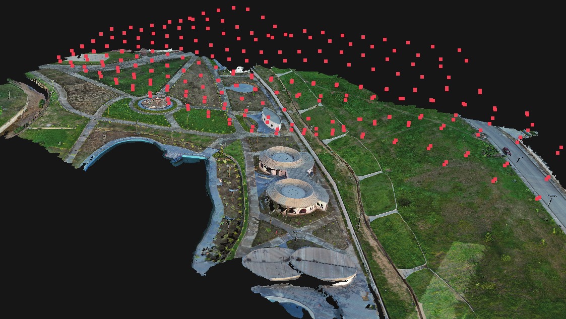
Explore the early-access 3DINT workflow for one way to work with reconstruction outputs. Start with the intended use of the result and evaluate the data against that need.